Source Instance
API endpoint that allows TempSpatial objects to be viewed or edited.
GET /api/source/139/?format=api
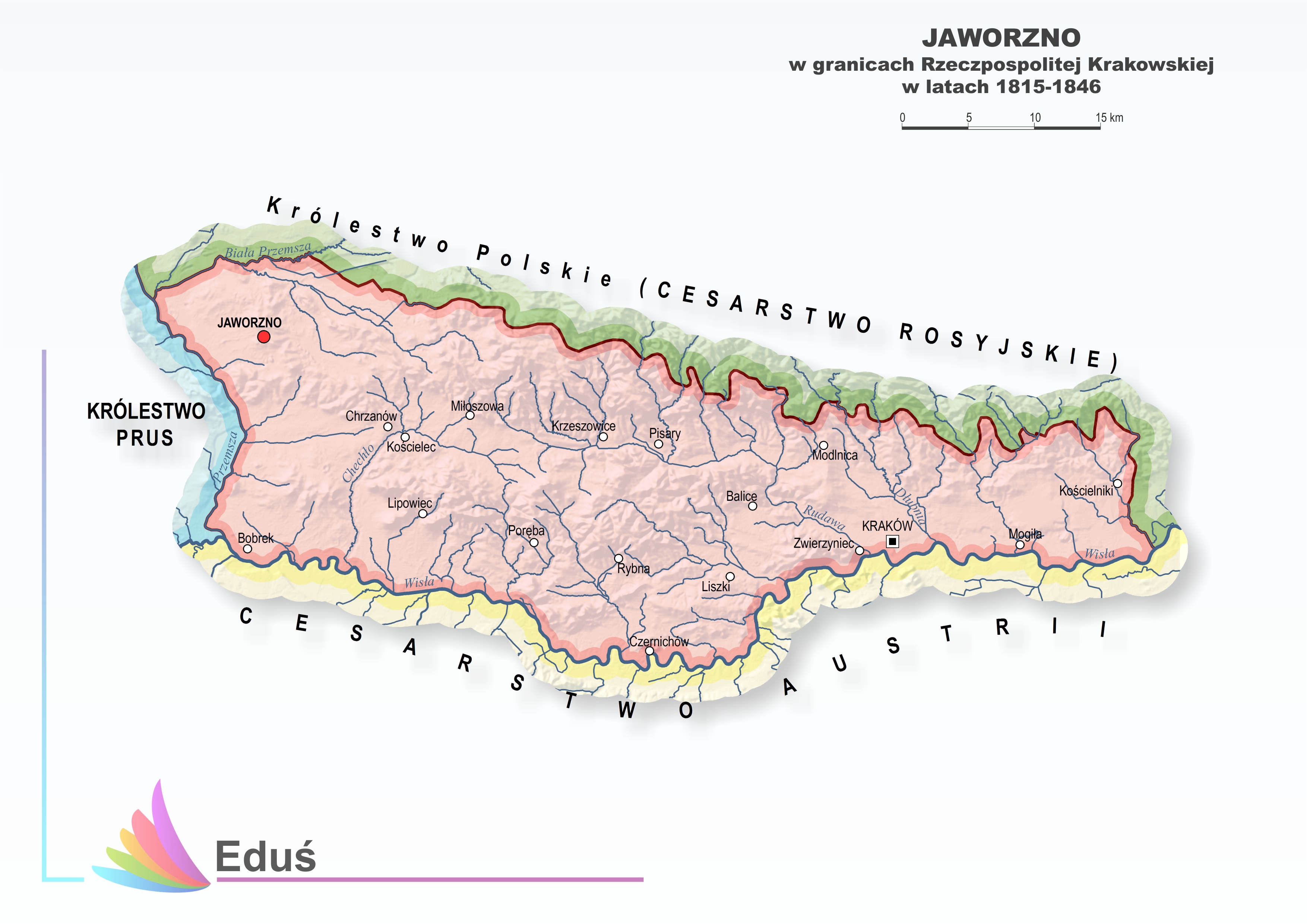
{ "name": "Austro-Hungarian Empire Entities 1910", "description": "Do provide widely harmonized data sets the data is based on an initial dataset from 1835 based on a map from Anton Floder (Woldan: Floder, Oesterreich, 1835). To improve data quality the data set was also cross-checked with a map from Karl von Czörnig (Rumsey: Czoernig, Oesterreich, 1856) In order to improve geometry accuracy other available already existing vector data sets were used and adapted to complement the data set, viz.: data provided by\r\n\r\nthe Mosaic project, funded by the Austrian Science Fund (FWF): P 21257; P 21257; http://www.censusmosaic.org/.\r\nthe © OpenStreetMap collaborative project (www.openstreetmap.org).\r\nFor the border of Kraków a map from the Silesian library in Katowice was used (Eduś - IBR Biblioteki Śląskiej w Katowicach; Jaworzno, 2015).\r\n\r\nAnna Piechl was responsible for reviewing the existing, provided data sets, for data consolidation and harmonization, and for data editing based on research by Peter Paul Marckhgott-Sanabria. Peter Paul Marckhgott-Sanabria was responsible for historical investigation and validation, in particular for reviewing the created data sets, for data harmonization and for research on administrative structures in the time period and on the dates of existence of the respective administrative units (time spans between formation and disintegration).", "quote": "Anna Piechl / Peter Paul Marckhgott-Sanabria, \"Austro-Hungarian Empire adm2 1910\", based on Census Mosaic: Austro-Hungarian Empire, 1910 published by Histogis", "original_url": "http://sammlung.woldan.oeaw.ac.at/layers/geonode:ac03763400_oegqmst_oesterreich_gesamttitel_1835 http://sammlung.woldan.oeaw.ac.at/layers/geonode:ac03793289_czoernig_oesterreich_1856 https://censusmosaic.demog.berkeley.edu/mosaic/tmp/download/europe_1900-2003.zip https://www.openstreetmap.org/; https://www.openstreetmap.org/copyright http://edus.ibrbs.pl/wp-content/uploads/2016/07/Mapa_16.jpg" }